
Forecast

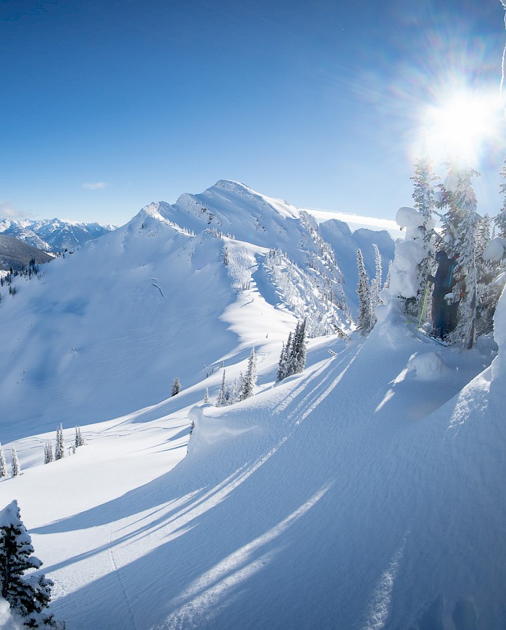
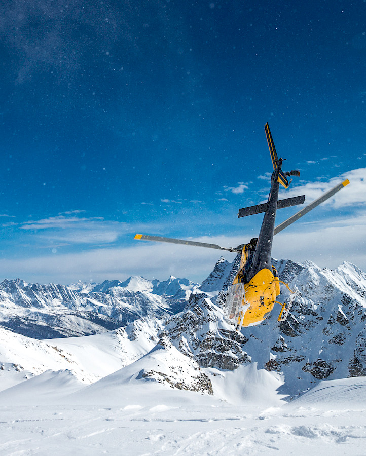
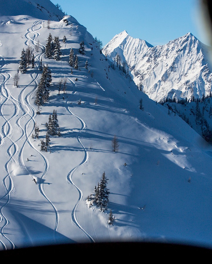
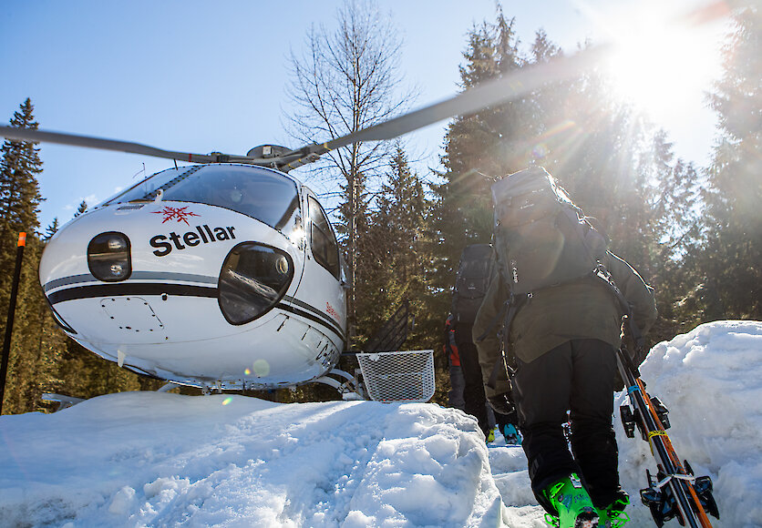
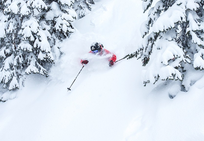
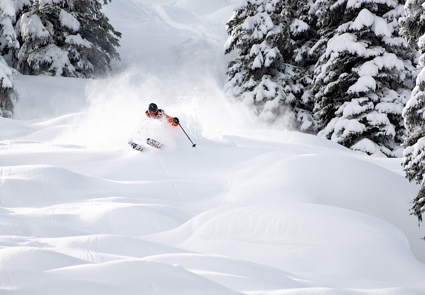
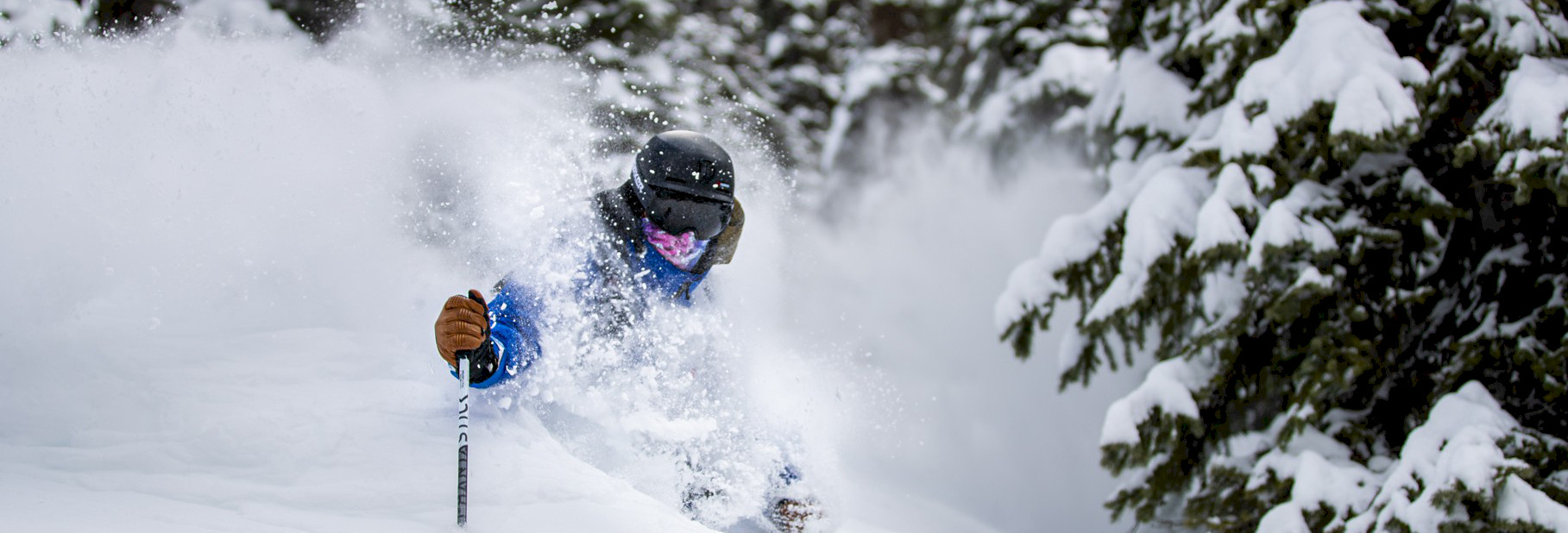
Seeing over 18 meters (60ft) of snowfall each year, the snow we ski is some of the deepest and driest in the world. With terrain rising to over 3,000 meters, our guests are able to ski/ride open bowls, high alpine peaks, and magnificent old growth forests that are suited for everyone, whether you are a fresh backcountry skier or expert powder rider. All of this terrain is just a short helicopter ride away!

Local Weather Forecasts

Today

Cloudy with sunny periods and a few showers.
  • Rain: 8 mm
  • Freezing level: 2900 metres.
  • Alpine temperature: High 7 °C.
  • Ridge wind west: 30 km/h gusting to 60 km/h.

Tonight

Clear periods.
  • Freezing level: 1600 metres.
  • Alpine temperature: Low -3 °C.
  • Ridge wind northwest: 15-30 km/h.

Saturday

A mix of sun and cloud with isolated flurries.
  • Snow: 1 cm
  • Freezing level: 1800 metres.
  • Alpine temperature: High -2 °C.
  • Ridge wind northeast: 20 km/h.

Sunday

Sunny
  • Freezing level: 1700 metres.
  • Alpine temperature: Low -6 °C, High -3 °C.
  • Ridge wind east: 15 km/h.

Monday

Sunny with cloudy periods.
  • Freezing level: 3300 metres.
  • Alpine temperature: Low -4 °C, High 3 °C.
  • Light ridge wind.

Tuesday

Cloudy with sunny periods.
  • Freezing level: 3200 metres.
  • Alpine temperature: Low 2 °C, High 3 °C.
  • Light ridge wind.

Wednesday

Mainly cloudy with scattered flurries.
  • Snow: 5 cm
  • Freezing level: 1800 metres.
  • Alpine temperature: Low -1 °C, High 3 °C.
  • Ridge wind southwest: 10-25 km/h.

Thursday

A mix of sun and cloud.
  • Freezing level: 2000 metres.
  • Alpine temperature: Low -3 °C, High -1 °C.
  • Ridge wind light to 20 km/h.

Friday

Cloudy with sunny periods.
  • Freezing level: 3100 metres.
  • Alpine temperature: Low 0 °C, High 5 °C.
  • Ridge wind south: 10-30 km/h.

Alpine forecast provided by RWDI - a meteorological consulting and engineering firm with extensive experience in microclimate and mountain meteorology.

The initial data for this forecast is extracted from the leading US regional (WRF NAM, short term) and global (GFS, long term) weather models four times daily and post-processed by RWDI to account for the unique environment near Revelstoke.

Tonight

Chance of showers
A few showers ending early this evening then mainly cloudy with 60 percent chance of showers. Risk of thunderstorms early this evening. Wind northwest 20 km/h gusting to 40 becoming light this evening. Low 7.

Saturday

Chance of showers
Mainly cloudy with 40 percent chance of showers. Wind becoming north 20 km/h gusting to 40 near noon. High 11. UV index 2 or low.

Saturday night

Clearing
Clearing in the evening. Wind north 20 km/h gusting to 40 becoming light in the evening. Low plus 1.

Sunday

Sunny
High 11.

Sunday night

Clear
Low plus 1.

Monday

Sunny
High 11.

Monday night

Cloudy periods
Low plus 1.

Tuesday

A mix of sun and cloud
High 13.

Tuesday night

Cloudy
Low plus 3.

Wednesday

Chance of showers
Cloudy with 30 percent chance of showers. High 12.

Learn More

Prime powder dates are filling!

Book now for the 2026/27 season. Have a Question? Call us at 1-888-366-0067 Email:

Check availability & request dates